Revolutionizing Topographic Mapping with GIS
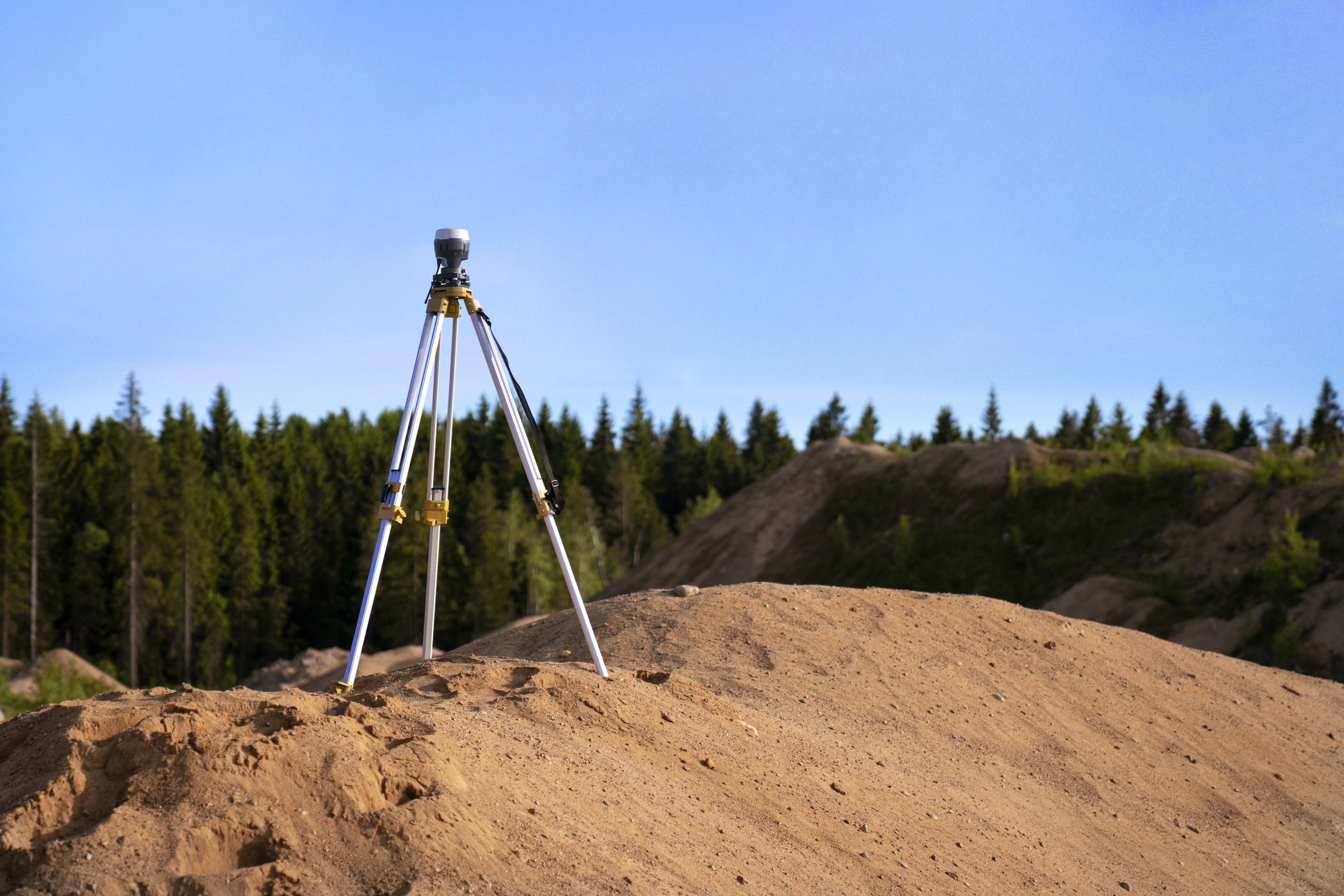
In the dynamic realm of geography and spatial analysis, Geographic Information Systems (GIS) stand as an indispensable tool, transforming the way we perceive and interact with our surroundings. In this exploration, we delve into the world of harnessing GIS technology for effective topographic map creation, unlocking its potential to revolutionize mapping processes. From visualizing landscapes …