Know the importance of the ALTA Land Survey and unlock the secrets beneath your property. Owning a piece of land is a fundamental aspect of the American dream. Whether it’s a vast rural property, a cozy suburban lot, or a prime part of urban real estate, the idea of having a place to call your own is deeply ingrained in the culture. However, with land ownership comes a host of responsibilities and complexities, not the least of which is ensuring that the property you believe you own is, in fact, accurately and legally yours; this is where ALTA land surveying comes into play. ALTA, or the American Land Title Association, is an organization that sets the standards for land surveys in the United States. ALTA surveys are detailed, comprehensive, and vital for anyone who owns, purchases, or invests in real estate. In this blog, we’ll delve into the world of ALTA land surveys, understand their significance, and how they ensure accurate and reliable property ownership.
What is an ALTA Land Survey?
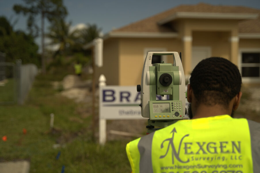
An ALTA land survey, often called an ALTA/NSPS (National Society of Professional Surveyors), is a comprehensive type of land survey used primarily for commercial properties. It adheres to rigorous standards established by the ALTA and NSPS. These surveys provide a detailed and accurate representation of the land, covering various essential aspects.
The Key Components of an ALTA Land Surveying
ALTA surveys include a range of components designed to provide a complete picture of the property. Here are some of the most critical elements:
Boundary Lines: The survey establishes precise boundary lines, helping to define the property’s legal limits.
Easements: It identifies any existing easements on the property. Easements are rights given to other parties (e.g., utility companies) to use a portion of the property.
Improvements: The survey records all structures, such as buildings, roads, fences, and walls, on the property.
Zoning Classification: It includes the property’s zoning classification, which determines how the land can be used and any restrictions imposed.
Flood Zone Determination: An ALTA survey will determine whether the property is located in a flood zone, which is crucial for insurance purposes.
Encroachments: It identifies structures or improvements that encroach upon the property or vice versa.
Access: The survey indicates how the property is accessed, whether it’s through a public road or a private easement.
Legal Description: It provides a detailed legal description of the property to avoid any ambiguity in ownership.
Title Information: The survey may include a review of the title commitment to ensure there are no unresolved issues affecting the property.
Surrounding Land Use: An ALTA survey also takes into account the use and development of the surrounding properties, which can impact your own land use and future plans.
The Importance of ALTA Land Surveying
Now that we understand what an ALTA land survey entails let’s explore why it’s so essential.
Property Ownership Assurance: An ALTA survey provides property owners with the assurance that the land they believe they own is, in fact, accurately and legally theirs. It protects against encroachments and boundary disputes.
Legal Compliance: ALTA surveys are designed to adhere to a stringent set of standards, ensuring legal compliance and precision. This is particularly important for commercial properties with high stakes.