Boundary Survey
A boundary survey shows exactly where your property begins and ends, so you can buy, build, fence or sell with confidence.
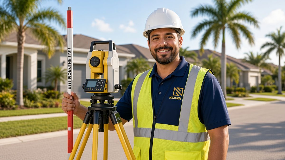

What is a Boundary Survey?
A boundary survey is a signed and sealed survey that documents the perimeter of a parcel by finding or setting its corners and boundary lines, as defined in Florida's Standards of Practice. It shows your property lines and how buildings, fences, driveways, pools and other improvements sit in relation to them.
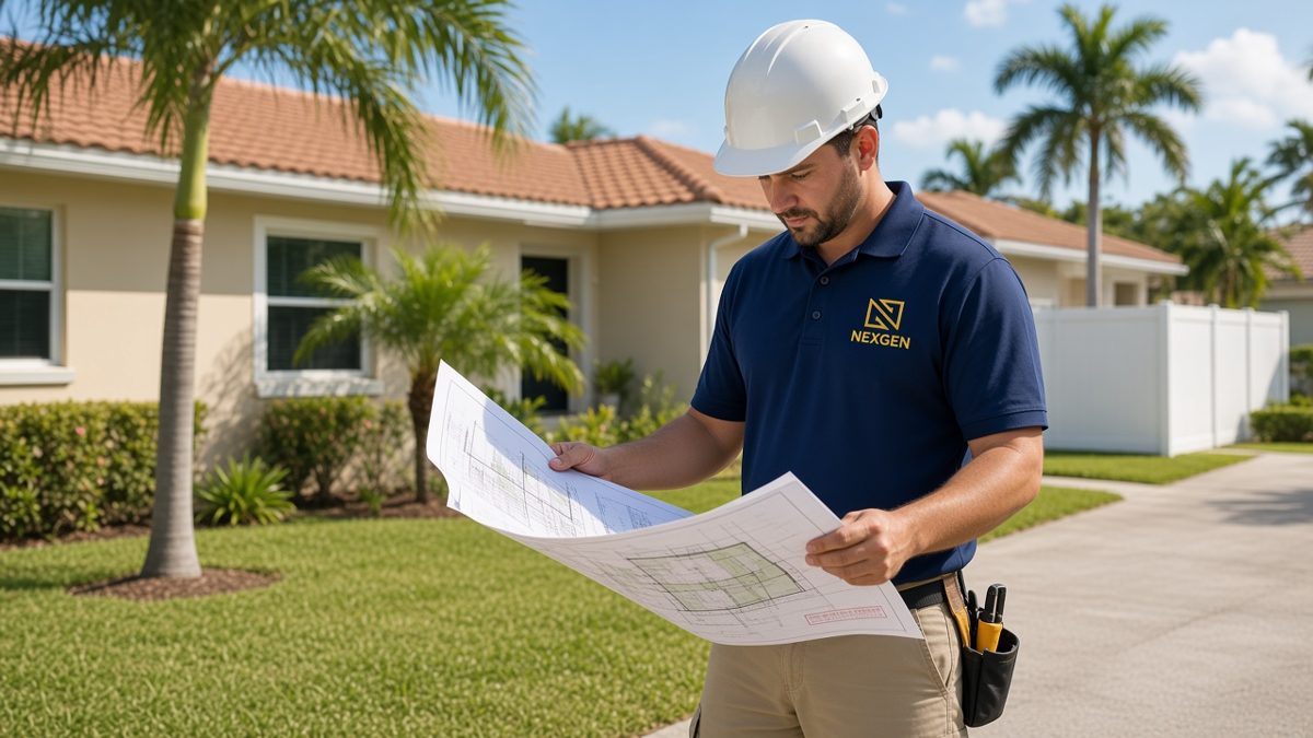
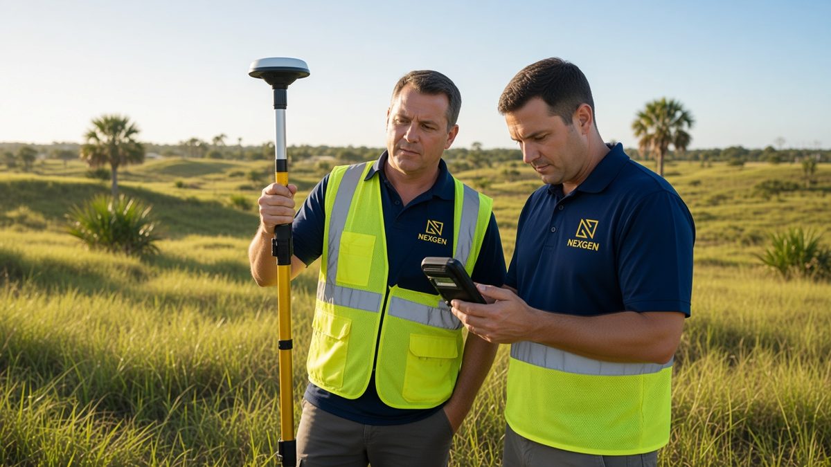
A boundary survey locates and marks the legal limits of a parcel of land. The survey team researches the recorded deed, plats and nearby surveys, then measures in the field to find or set the corner monuments that define your lot. The result is a signed and sealed drawing that shows your property lines and how buildings, fences, driveways, pools and other improvements sit in relation to them.
In Florida, boundary surveys follow the state Standards of Practice for surveyors and mappers, so the work is prepared to a consistent, recognized standard that lenders, title companies and local building departments understand.
Who Needs a Boundary Survey, and When?
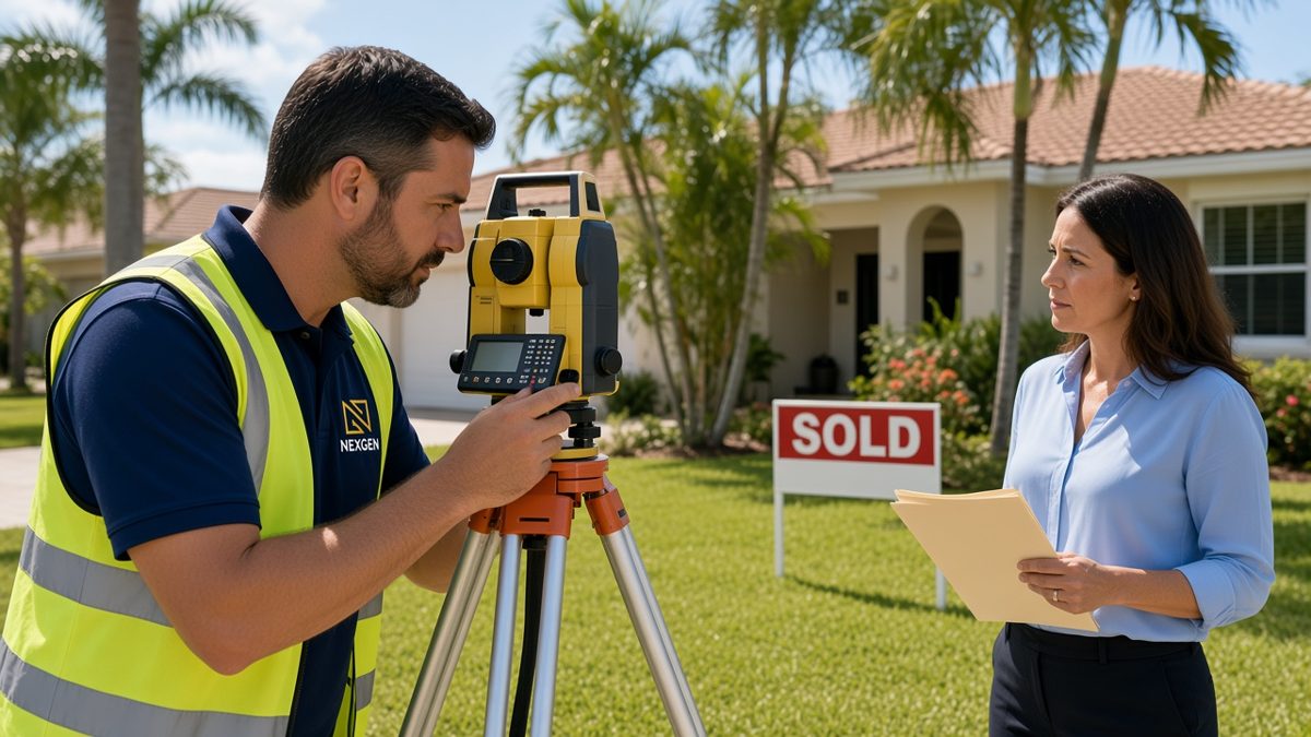
You need a boundary survey whenever the location of a property line matters: buying with a lender or title company that asks for a current survey, building a fence, pool or addition near the line, applying for a permit that shows setbacks, settling a question with a neighbor, or splitting or selling part of a parcel.
Boundary surveys are useful any time the location of a property line matters. Common reasons include:
- Buying a home or land, when a lender or title company asks for a current survey before closing
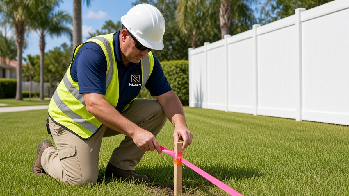
- Installing a fence, wall, pool, addition or driveway near the edge of the lot
- Applying for a building permit that requires a survey with setbacks shown
- Resolving a question or disagreement with a neighbor about where the line is
- Splitting, combining or selling part of a parcel
- Checking for encroachments, such as a neighbor's shed or fence crossing the line
Homeowners, buyers, builders, real-estate agents, attorneys and title companies all rely on boundary surveys to avoid surprises. Finding a problem before closing or construction is far easier than fixing it afterward.
What You Get
Every boundary survey from Nexgen Logix is prepared for the specific purpose you need it for. In general terms, you can expect:
- A signed and sealed survey drawing, delivered digitally, with printed copies available on request
- Property lines, bearings and distances based on the legal description
- Corner monuments found or set in the field
- Visible improvements such as buildings, fences, walls, driveways and pools
- Visible encroachments, easements of record provided to us, and the flood zone where applicable
- Certifications to the parties you name, such as your lender, title company or attorney
If you already have an older survey and nothing on the property has changed, an update survey may be all you need. If you are buying with a mortgage, see our mortgage surveys. For flood insurance or permits in a flood zone, you may also need an elevation certificate. Planning to build? A topographic survey adds ground elevations for design.
Serving All of Florida
Nexgen Logix is based in Lake Park and works across Florida, including West Palm Beach, Palm Beach Gardens, North Palm Beach, Jupiter and Riviera Beach, and serves property owners in all Florida counties. Tell us the property address and what the survey is for, and we will recommend the right scope for your project.
Request a Quote for Your Boundary Survey
Ready to get started, or not sure which survey you need? Contact Nexgen Logix at (561) 508-6272 or info@nexgensurveying.com. You can also request a quote online or order your survey. Nexgen Logix, 1547 Prosperity Farms Rd, Lake Park, FL 33403, serving all Florida counties.
Request a Quote Order a Survey
See all of our surveying services.