Topographic (Topo) Survey
A topographic survey, often called a topo survey, maps the shape of your land and the features on it so designers and builders can plan with accurate information.

What is a Topographic Survey?
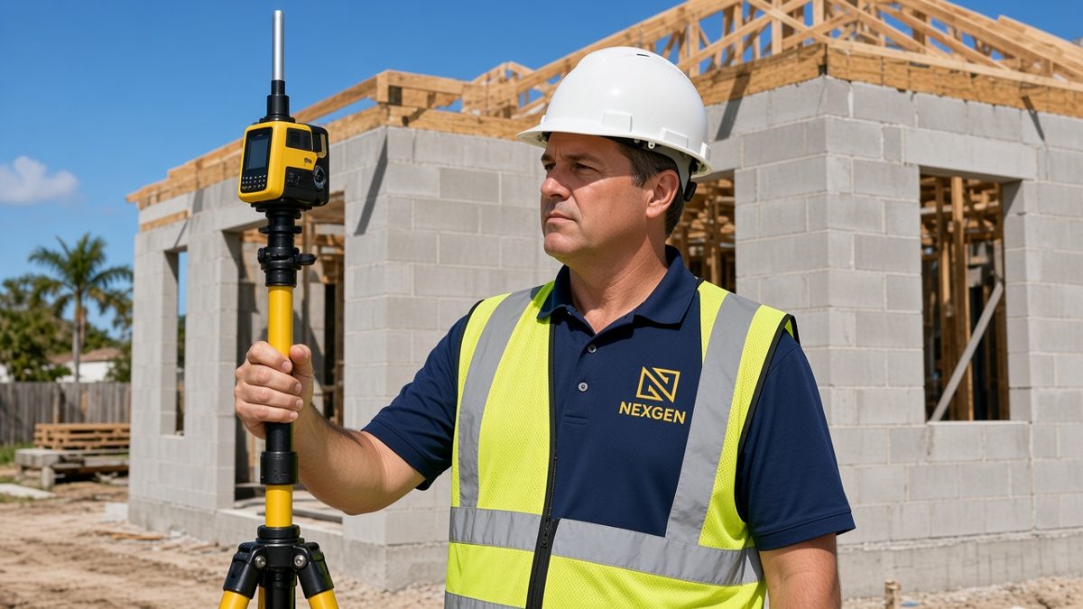
A topographic survey measures selected natural and man-made features of a site and their horizontal and vertical relationships, as defined in Florida's Standards of Practice. It shows ground elevations, buildings, pavement, trees, drainage structures and visible utilities, so engineers, architects and builders can design with real numbers instead of estimates.
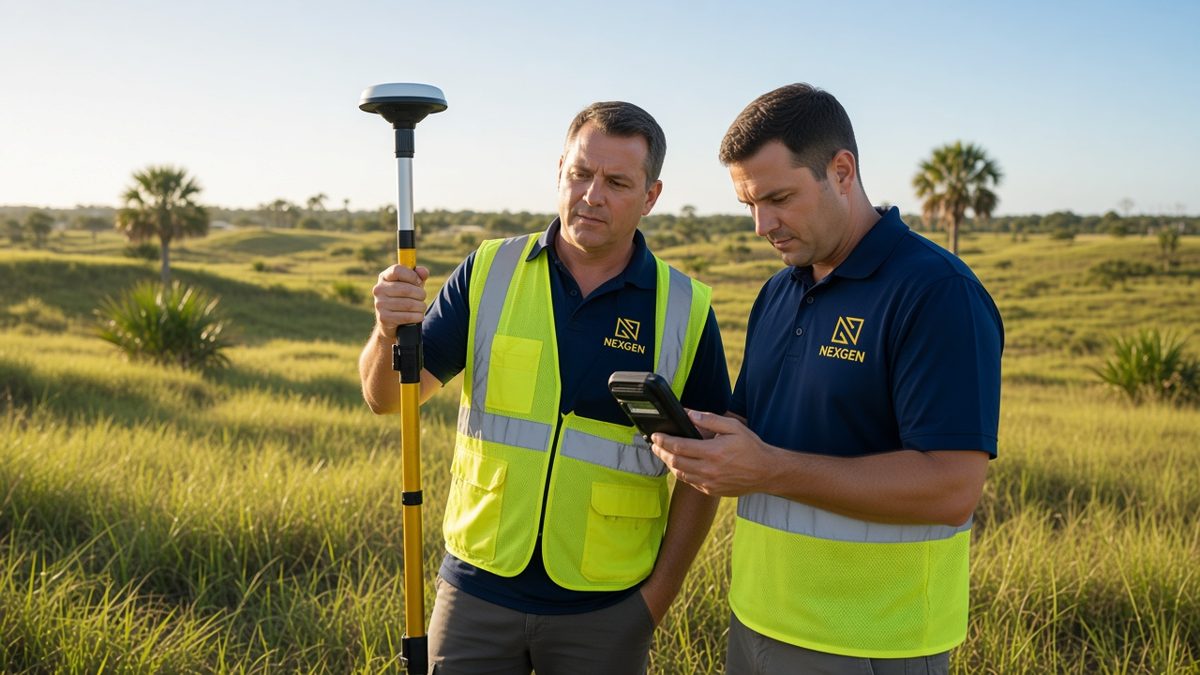
A topographic survey measures the elevation of the ground across a site and locates the natural and man-made features on it. Typical features include buildings, pavement, curbs, trees, drainage structures, utility poles, visible utilities, walls and fences. The elevations are shown as spot grades and, where useful, contour lines, so anyone reading the drawing can see how the land rises, falls and drains.
In much of Florida the land looks flat, but small differences in elevation matter a great deal for drainage, flood zones and building permits. A topo survey gives engineers, architects and contractors the real numbers they need instead of estimates.
Who Needs a Topo Survey, and When?
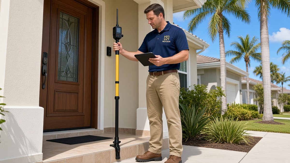
Topographic surveys are usually ordered at the start of design. Homeowners, builders, developers, engineers and architects use them to design a new home, addition, pool or commercial building, prepare a grading and drainage plan for a permit, plan a driveway, seawall or retaining wall, or check how water moves across a lot.
Topographic surveys are usually ordered at the start of a design or construction project. Common reasons include:
- Designing a new home, addition, pool or commercial building
- Preparing a grading and drainage plan for a permit application
- Planning a driveway, parking area, seawall or retaining wall
- Checking how water moves across a lot before regrading
- Supporting site plans for engineers, architects and municipal review
Homeowners, builders, developers, engineers and architects often request a topo survey together with a boundary survey, so the design shows both property lines and ground elevations on one drawing.
What You Get
The scope of a topographic survey depends on your project and on what your designer or local building department requires. In general terms, you can expect:
- A signed and sealed topographic survey drawing, delivered digitally
- Spot elevations and, where requested, contour lines
- Locations of visible site features, structures and improvements
- Elevations tied to a stated vertical datum, so the data works with flood maps and design plans
- Digital drawing files for your engineer or architect on request
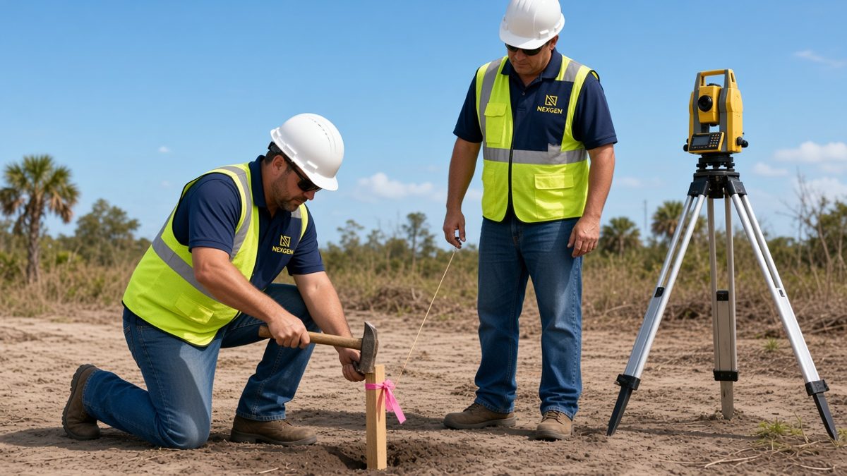
If your property is in a flood zone, the same field work can support an elevation certificate. Once construction starts, we can help with building layout and FFE staking, a form board survey and later an as-built survey.
Serving All of Florida
Nexgen Logix is based in Lake Park and works across Florida. Share the property address, your plans and any requirements from your designer, and we will put together a scope and quote that fits the project.
Request a Quote for Your Topographic Survey
Ready to get started, or not sure which survey you need? Contact Nexgen Logix at (561) 508-6272 or info@nexgensurveying.com. You can also request a quote online or order your survey. Nexgen Logix, 1547 Prosperity Farms Rd, Lake Park, FL 33403, serving all Florida counties.
Request a Quote Order a Survey
See all of our surveying services.